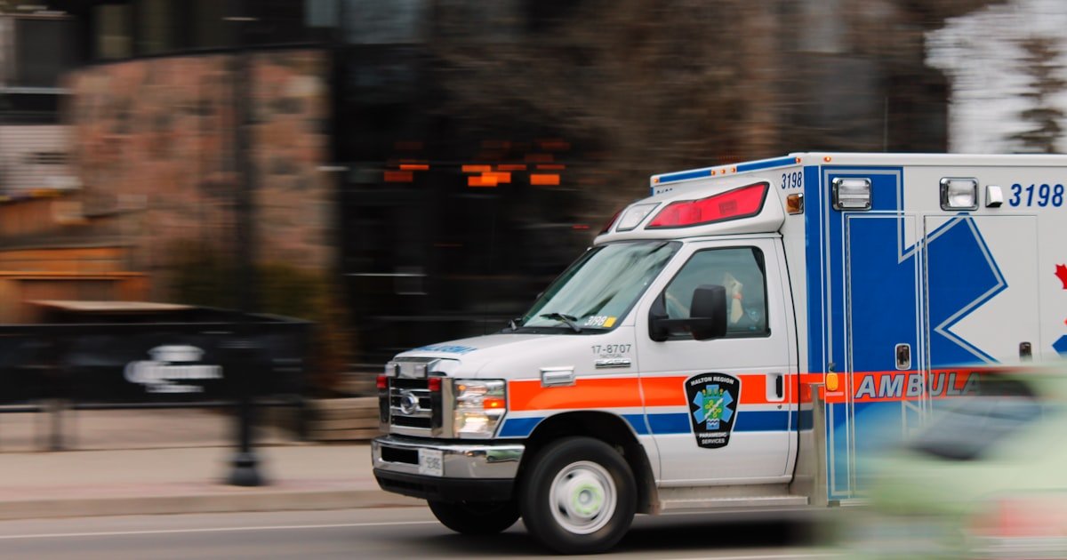
In every other fleet, GPS tracking saves money. In an ambulance tracking system, it saves time, and time is the outcome. When a call comes in, the only question that matters is which unit can reach the patient fastest, and answering it correctly requires knowing exactly where every ambulance is right now. This guide covers how GPS tracking works for ambulances and healthcare fleets, what it changes in dispatch, and which features matter most when lives depend on the answer.
Why an ambulance tracking system is different
A delivery fleet optimises for cost. An emergency medical fleet optimises for response time, and everything else follows from that. The consequences of a slow or wrong dispatch decision are not a late parcel, so an ambulance tracking system has to be judged on a stricter standard than an ordinary vehicle tracking setup.
Three things change as a result. Position updates need to be genuinely live, because a dispatcher working from a two-minute-old map is choosing the wrong ambulance. Status matters as much as location, since an ambulance already carrying a patient is not available regardless of how close it is. And the record of what happened must be complete, because response times get reviewed, questioned and reported on.
Nearest-unit dispatch, done properly
The single largest gain from an ambulance tracking system is choosing the right vehicle. Without live tracking, dispatch works from memory and radio calls: someone believes a unit is near the hospital, so that unit is sent. With live GPS tracking, the dispatcher sees every ambulance on one map, knows which are free, and sends the one that can genuinely arrive first, which is not always the one that looks closest in a straight line.
That distinction matters more in dense cities than anywhere else. The nearest ambulance by distance may be on the wrong side of a divided road or behind traffic. Live positions combined with actual road routing let a dispatcher make the decision on arrival time rather than proximity. The underlying mechanics are the same ones described in how GPS vehicle tracking works, applied to a case where the stakes are far higher.
Healthcare fleet tracking beyond the ambulance
Most healthcare groups run several fleets under one roof, and only one of them is emergency. The tracking platform is usually shared, but what counts as a good day is different for each, and a system set up only for ambulances measures the others badly.
| Fleet | What success means | What to measure |
|---|---|---|
| Emergency ambulances | Reaching the patient first | Response time, unit availability, coverage gaps by zone |
| Patient transport | Arriving when the appointment says | On-time arrival, wait time at pickup, journeys per vehicle per day |
| Sample and specimen couriers | Getting there inside the sample’s valid window | Collection to lab time, missed pickups, route sequence |
| Blood and pharmacy delivery | Arriving intact, not only on time | Temperature alongside location, door-open events, chain of custody |
| Home care and community nursing | Visits completed, staff safe | Visits per shift, travel against care time, lone-worker check-ins |
| Hospital shuttles and mobile clinics | Running to the published schedule | Schedule adherence, dwell time at each stop |
Two of these deserve more than a row. Temperature-controlled deliveries fail differently from every other fleet: a late blood delivery is a problem, but a warm one is a loss, and the only way to prove it stayed cold is to record temperature next to position for the whole journey. See cold chain monitoring.
Home care is the fleet where tracking is most often resisted and most often useful, because the honest measurement is not how fast staff drive. It is how much of the day is spent driving rather than with patients. A route that looks efficient on a map can still waste two hours a day in doubling back, and that is time taken from care rather than from the employer. Route optimisation applies directly, and tracking and staff privacy covers how to introduce it without it landing as surveillance.
Tracking the equipment, not only the vehicle
An ambulance is a room full of expensive, portable, borrowable equipment, and that equipment moves between vehicles, crews and hospitals all day. Defibrillators, monitors, stretchers, oxygen cylinders, drug bags and infusion pumps are frequently the things a service actually loses, and the vehicle tracker never sees them because they are not the vehicle.
Asset tags solve a different problem from vehicle tracking and answer questions the fleet map cannot:
- Which vehicle is this item in right now, when a crew needs a specific device and three ambulances are out.
- Did it come back, after equipment travelled into a hospital with a patient and stayed there.
- Is it due for calibration or service, tracked by the item rather than by the vehicle it happens to be in.
- Where does it get lost, which is usually one particular handover point rather than everywhere.
The tags are battery-powered and report on movement rather than continuously, which is why they last on equipment that has no power of its own. The approach is the same one used for trailers and plant, described in asset tracking systems, applied to a much smaller and more mobile set of items.
Features that matter in an ambulance tracking system
Live tracking with fast updates
Position needs to refresh every few seconds while moving. Anything slower and dispatch decisions are made on stale information.
Geofencing around hospitals and zones
Geofences around hospitals, bases and coverage areas automatically record arrival and departure times, so response and handover times are captured without anyone writing them down. Our guide to geofencing for fleets covers how these boundaries are set up.
Complete trip history and route replay
Every journey should be reconstructable afterwards: the route taken, the timings, the stops. This is what turns a disputed response time into a documented one, and it is invaluable during incident reviews.
Driver behaviour, handled carefully
Speed and harsh-braking data need context in an emergency fleet, since an ambulance on an emergency call is legitimately driven differently from one returning to base. Used well, the data identifies genuine risk and training needs rather than punishing crews for doing their job. Our article on driver behaviour monitoring explains how to make that distinction.
Maintenance and vehicle availability
An ambulance out of service is a hole in coverage. Tracking mileage and engine hours lets servicing be scheduled around demand rather than discovered by a breakdown, which is the same discipline covered in fleet maintenance management.
The reporting that healthcare fleets are asked for
Healthcare operations are accountable to boards, regulators and often the public, and most of what they are asked for comes directly out of tracking data:
| Question | Answered by |
|---|---|
| What is our average response time by area? | Dispatch timestamp to geofence arrival |
| Which zones are under-covered? | Vehicle position history over time |
| How long are handovers taking? | Time inside the hospital geofence |
| Are vehicles being used outside duty hours? | Out-of-hours movement alerts |
| What route did unit 12 take on that call? | Route replay for the trip |
Getting the human side right
Tracking an emergency fleet only works if the crews trust it. The framing that succeeds is straightforward and honest: the system exists so that the closest unit is sent, so that response times are recorded accurately rather than estimated, and so that nobody has to defend a timeline from memory. Crews who understand that tracking protects their account of events tend to support it. Crews who are told nothing assume the worst. Explain what is recorded, who can see it and what it is used for, before the first device is fitted.
Frequently asked questions
How does an ambulance tracking system reduce response times?
It lets a dispatcher see every unit’s live position and availability on one map, so the ambulance that can actually arrive first is chosen rather than the one assumed to be closest. It also removes the radio back-and-forth needed to establish where units are, which is time spent before the vehicle has even started moving.
Can tracking record response times automatically?
Yes. Geofences around hospitals, bases and response areas log arrival and departure automatically, so the times are captured as the vehicle moves rather than written down afterwards. That produces a consistent record for reporting and review without adding paperwork for crews.
Does GPS tracking work inside hospital grounds and basements?
GPS needs a view of the sky, so accuracy drops in underground parking and inside buildings. In practice this rarely matters, because the geofence around the hospital has already recorded the arrival, and the device resumes normal reporting as soon as the vehicle is outside again.
Is tracking ambulance crews intrusive?
It tracks the vehicle, not the person, and the fairest implementations are transparent about exactly what is recorded and why. Because it also documents that a crew responded promptly and took a sensible route, crews frequently find it works in their favour during reviews.
Can the same system track patient transport and courier vehicles?
Yes. Ambulances, patient transport vans, laboratory couriers and community nursing vehicles all run on the same platform, each with their own alerts and reports, which gives a healthcare group one view of every vehicle it operates.
What is healthcare fleet tracking?
GPS tracking applied to every vehicle a healthcare group runs, not only ambulances. That usually means patient transport, specimen couriers, blood and pharmacy deliveries, home care vehicles and hospital shuttles on one platform, each measured against what matters for that fleet rather than against response time.
Is vehicle tracking for healthcare different from ordinary fleet tracking?
The technology is the same. The measurements are not. Ordinary fleets optimise cost per kilometre; healthcare fleets optimise response time, appointment punctuality, sample validity windows and completed patient visits, and several of them need temperature recorded alongside location.
Can the same system track medical equipment inside ambulances?
Yes, using battery-powered asset tags rather than vehicle trackers. They report on movement, which is what lets them run for a long time on items with no power of their own, and they answer which vehicle an item is in and whether it came back after a hospital handover.
How do you track blood and pharmacy deliveries properly?
By recording temperature alongside position for the whole journey. A late delivery is a scheduling problem, but a delivery that got warm is a loss, and only a continuous record proves which one happened.
See it on a live map
The quickest way to judge an ambulance tracking system is to watch a fleet move in real time and see how fast the map reacts. Get a Fleetile demo and see live tracking, geofence timings and route replay working together.