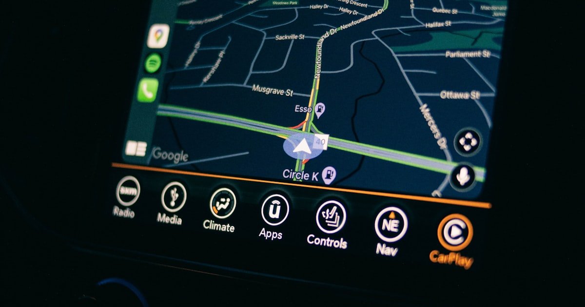
You’ve seen a vehicle move as a live dot across a map and wondered what’s actually happening behind the scenes. Understanding how GPS vehicle tracking works is simpler than it looks: a small device listens to satellites, works out where it is, and sends that position over the mobile network to a dashboard you can watch in real time. This guide explains every step in plain English, with no jargon.
The short version
GPS vehicle tracking works in four steps: satellites broadcast signals, a tracker in the vehicle calculates its position from those signals, the tracker sends that position over a mobile network to a server, and software plots it on a live map. Everything else - geofencing, alerts, reports - is built on top of that basic loop, which repeats every few seconds.
Step 1: Satellites broadcast a signal
GPS (Global Positioning System) is a network of satellites orbiting roughly 20,000 km above Earth. Each satellite constantly broadcasts a radio signal that includes two things: exactly where the satellite is, and the precise time the signal was sent, measured by an atomic clock. There are enough satellites in orbit that, from almost anywhere on the planet, a receiver can “hear” several at once. GPS is free to use and available worldwide - the receiver only listens, it never transmits back to the satellites.
Step 2: The tracker calculates its position
Inside the vehicle sits a GPS tracking device - a small unit wired into the vehicle’s power. It receives signals from multiple satellites and measures how long each signal took to arrive. Because radio waves travel at the speed of light, a tiny time difference translates into distance. By combining distances from several satellites, the tracker pinpoints its own location. This is called trilateration:
- Three satellites fix your latitude and longitude (a flat position).
- A fourth satellite adds altitude and corrects the clock, sharpening accuracy.
- More satellites in view means a tighter, more reliable fix.
The result is your position, usually accurate to within a few metres, plus your speed and direction of travel.
Step 3: The tracker sends data over the mobile network
Knowing where it is doesn’t help unless the tracker can report it. This is where a lot of people get confused: the satellites tell the device where it is, but the device uses a cellular SIM card - the same kind of mobile data your phone uses - to send that position to a server over the internet. So GPS is for finding location; the mobile network is for transmitting it.
A good fleet device sends an update every few seconds, so the dot on your map moves almost in real time rather than jumping in large gaps.
Step 4: Software turns data into a live map
The server receives a steady stream of position reports and hands them to fleet management software. That software plots each vehicle on a map, draws its route, calculates trip stats, and checks every update against your rules - is it speeding, has it left a geofence, is it idling? When a rule is broken, you get an alert. You can see this whole flow in action on the Fleetile product dashboard, and explore the full feature set on the platform page.
GPS vs the mobile network: who does what?
| Component | Job | Direction |
|---|---|---|
| GPS satellites | Broadcast position + time signals | Satellite → device (one way) |
| GPS tracker | Calculate location, speed, heading | Receives + processes |
| Cellular SIM | Send position to the server | Device → network → server |
| Fleet software | Map, alert, report | Server → your screen |
What can go wrong with the signal?
GPS is remarkably reliable, but it isn’t perfect. A tracker needs a reasonably clear view of the sky, so accuracy can dip in a few situations:
- Tunnels and covered car parks block the satellite signal until the vehicle emerges.
- Dense city “urban canyons” can bounce signals off tall buildings, nudging accuracy slightly.
- No cellular coverage means the device can still track - good units store positions and upload them once signal returns.
Quality hardware and a well-designed platform smooth over these gaps, so your route history stays complete even after a tunnel or a dead zone.
What GPS tracking unlocks for a fleet
Once that live position loop is running, a fleet platform layers on the features that actually save money and prevent loss:
- Live tracking - every vehicle on one map, updated every few seconds.
- Geofencing - alerts when vehicles enter or leave defined zones.
- Remote engine cut - immobilise a stolen vehicle safely from your phone.
- Driver scoring - grade speeding and harsh driving to improve safety.
- Trip history and reports - replay any journey and analyse performance.
If you’re comparing a proper fleet system to a basic consumer unit, our post on GPS fleet tracking vs car trackers explains why the difference is bigger than the price tag. And for the wider picture of running vehicles well, start with what fleet management is.
Frequently asked questions
Does GPS tracking work without an internet connection?
The GPS part works anywhere with a view of the sky - it doesn’t need the internet. But sending that location to your dashboard needs a mobile data connection. If there’s no cellular signal, a quality tracker stores positions and uploads them automatically once coverage returns.
How accurate is GPS vehicle tracking?
Typically within a few metres under an open sky. Accuracy is best when the tracker can see many satellites and can dip slightly in tunnels or among tall buildings, though good hardware and software minimise the effect.
Do the satellites know where my vehicle is?
No. GPS is a one-way broadcast - satellites send signals but never receive anything back. Your tracker listens, works out its own position, and then sends that to your fleet platform over the mobile network. Only your software sees your vehicle’s location.
How often does the location update?
On a good fleet platform, every few seconds, so the vehicle moves smoothly on the map. Cheaper consumer trackers often update only every minute or two, which makes the route look choppy and delays alerts.
See GPS tracking in action
Reading about it is one thing - watching your own vehicles move live is another. Get a Fleetile demo and see exactly how GPS vehicle tracking turns your fleet into a single, real-time dashboard.
Leave a Reply